Introduction
In the property underwriting realm, accurate assessments are paramount. Insurers rely heavily on precise data to evaluate risks and determine appropriate coverage. Tensorflight stands at the forefront, with our platform utilizing multiple imagery sources to deliver comprehensive property assessments. Our coverage spans 95% of properties in the US, EU, and Australia, providing insurers with unparalleled data quality and reliability. Let’s see why this is important.

The Powers of Multiple Imagery Sources
Global Coverage. One of Tensorflight’s property intelligence platform’s most significant advantages is its extensive global coverage, which includes 95% of properties in the US, EU, and Australia. This wide-reaching network ensures that insurers have access to critical property data from nearly any location within these regions – meaning one data provider (Tensorflight) for all markets around the world. The ability to tap into such a vast dataset means that insurers can confidently assess properties no matter where they are situated, providing a reliable foundation for risk evaluation and underwriting decisions.
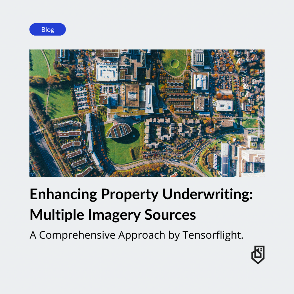
High-Quality Data. By leveraging a combination of satellite, aerial, and ground-level imagery, Tensorflight enhances the quality and accuracy of property assessments. Each type of imagery contributes unique advantages:
- Satellite Imagery: Offers broad, large-scale views, enabling the assessment of extensive areas and the identification of macro-level environmental risks, such as flood zones or wildfire-prone regions.
- Aerial Imagery: Provides more detailed, mid-range views that are particularly useful for evaluating property conditions, structural details, and nearby hazards that might not be visible from satellite images alone.
- Ground-Level Imagery: Delivers close-up, granular details that are crucial for identifying specific property attributes, such as building materials, roof conditions, and exterior features.
The integration of these diverse sources ensures a comprehensive view of each property, significantly reducing the likelihood of missing critical details that could affect risk assessment and underwriting outcomes. Thanks to it, we’re able to provide quality data on over 40 property data points.
Provider Choice. Tensorflight’s platform sources imagery from multiple providers, ensuring that the data is not only high-quality but also versatile. This diversity in data sources means that users can select the best available imagery for each assessment/report, tailoring the data to the specific needs of the property and the underwriting criteria. By not being reliant on a single provider, Tensorflight can maintain a higher standard of data quality and reliability, offering its clients a more robust and dependable property assessment tool.
Why is it important?
Increased Accuracy. Combining data from various sources enhances the precision of property assessments. Satellite imagery provides wide coverage, identifying large-scale environmental risks. Aerial images offer mid-range details, such as structural conditions and nearby hazards. Ground-level photos give close-up views, showing specific property attributes like building materials and roof condition. This layered approach minimizes errors, ensuring that insurers have a complete and accurate picture of each property.
Timely Updates. Access to the latest images ensures that the most current property data is used in assessments. This is crucial for keeping up with changes due to new constructions, renovations, or natural events. For instance, timely imagery updates can help insurers reassess properties accurately after a natural disaster, leading to better risk evaluations and faster claims processing. This quick access to updated information means insurers can make decisions based on the most recent and relevant data.
Comprehensive Views. Multiple perspectives provide a thorough analysis of property attributes. Satellite images can reveal geographical features and land usage patterns. Aerial photos give insights into the property’s context within its surroundings, such as nearby vegetation or other buildings. Ground-level images detail the exterior condition and specific features of the property. These combined views help underwriters evaluate the property more comprehensively, considering all possible risk factors.
It also comes together and dries organizations for better, enhanced risk management.
Better Risk Identification: Multiple imagery sources help in identifying potential risks that single-source data might miss. For example, combining satellite images with aerial and ground-level photos can reveal flood-prone areas or fire hazards from surrounding vegetation. This multi-source data approach ensures that no significant risk factors are overlooked, allowing for more accurate risk identification and management.
Detailed Property Insights: Detailed imagery aids in understanding property features that impact risk, such as building materials, the number of stories, and roof conditions. These insights are crucial for assessing the property’s vulnerability to various hazards. Tensorflight’s advanced visualization tools integrate these insights, making it easier for underwriters to analyze and interpret the data. This detailed level of analysis supports more informed and accurate underwriting decisions.
Improved Decision-Making for Underwriters
Efficiency and Speed
Tensorflight’s platform enables quick decision-making by providing instant access to comprehensive property data. The automation of the underwriting process reduces the need for manual inspections, saving time and resources. Underwriters can swiftly evaluate properties using detailed, accurate imagery from multiple sources, leading to faster policy issuance and claims processing. This efficiency allows insurers to respond more promptly to client needs and market changes.
Confidence Scores
Tensorflight’s confidence scores indicate the reliability of the data, helping underwriters make informed decisions. These scores are derived from the quality and consistency of the imagery and the accuracy of the extracted information. By providing a measure of data reliability, Tensorflight enables underwriters to assess the risk with greater certainty. This transparency builds trust in the data, facilitating better risk management and underwriting practices.
Custom Requests
Tensorflight’s model is flexible, catering to unique underwriting needs or complex properties. Underwriters can request specific data points or imagery details tailored to particular requirements. This customization ensures that insurers get the precise information they need for thorough risk assessment. Whether dealing with large commercial properties or intricate residential cases, Tensorflight’s ability to adapt to various needs enhances its value to insurers.
Case Studies and Real-world Applications
Tensorflight’s platform has significantly improved property assessments and underwriting outcomes for various insurers around the world. View our Case Studies Page for detailed Customer Success Stories.
We have a global presence and serve a diverse range of clients, including top insurers across various continents. This extensive clientele underscores the platform’s reliability and effectiveness in different markets. By catering to insurers worldwide, Tensorflight demonstrates its capability to handle diverse property types and regulatory environments, providing consistent and high-quality data regardless of location.
Tensorflight collaborates with multiple industry partners globally to enhance its platform’s capabilities and reach. These strategic partnerships allow Tensorflight to integrate additional data sources and technological innovations, providing insurers with superior data and insights. Through these alliances, Tensorflight continually enhances its offerings, ensuring that clients receive the best possible property intelligence solutions. These partnerships demonstrate Tensorflight’s commitment to innovation and excellence in the property intelligence market.
See how it works
Accurate property assessments are crucial for effective risk management in the insurance industry. Tensorflight stands out by utilizing multiple imagery sources to provide comprehensive, detailed, and up-to-date property data. Our global coverage, which includes 95% of addresses in the US, EU, and Australia, ensures that insurers have access to high-quality data from diverse regions. By integrating satellite, aerial, and ground-level imagery, Tensorflight offers a multi-faceted view of properties, enhancing accuracy and comprehensiveness.
Discover how Tensorflight can transform your property assessment processes. Contact us today to learn more about our platform and see how we can help you achieve more accurate and efficient underwriting.


